↓
 

College Station Land Surveying

Local Land Surveyors in College Station, TX

College Station Land Surveying
  • Home
  • About Us
  • ALTA Title Survey
  • Boundary Survey
  • Construction Survey
  • Drone LiDAR Mapping
  • Elevation Certificate
  • Lot Survey – Mortgage Survey – Closing Survey
  • Topographic Survey
  • Contact Us
Home→boundary survey→Basics of a Property Survey or Boundary Survey →adams-county-ms-property-survey-map

Image navigation

← Previous

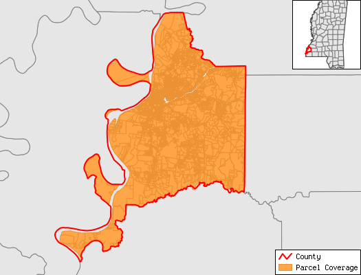
adams-county-ms-property-survey-map

Published March 19, 2017 at 525 × 400 in Basics of a Property Survey or Boundary Survey
adams county ms property survey

Image navigation

← Previous
Get Quote Button

Categories

  • ALTA Land Title Survey
  • blog
  • boundary survey
  • elevation certificate
  • flood survey
  • land surveying
  • land surveyor
  • property encroachment
  • subdivision
  • topographic survey
  • Uncategorized
© College Station Land Surveying
College Station, TX
Phone: 979-985-2525

Web Development and SEO by:
N2Biz.co


Privacy Policy | Terms of Use

The owner of this website, USA Surveying & Engineering, LLC., provides coordination of professional land surveying and engineering services in all 50 states. The professional surveying and engineering services provided to you will be conducted by fully licensed professionals in your state.

↑